Vegetation management on Solar Farms: Data driven strategies for wildfire prevention

With the recent record-breaking temperatures and increase in wildfires seen across the world, the effects of the climate crisis are becoming more frequent and intense.
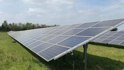
Wildfire exposure in particular is a significant risk for grid scale ground mounted solar photovoltaic (PV) assets. The main mitigation against this risk is active vegetation management of the solar PV site as it removes the source of fuel that the wildfire requires to spread. This service is performed according to a specific schedule by the contracted operations and maintenance (O&M) provider who is responsible for all vegetation management activities on the solar PV site.
What’s wrong with the current approach?
The main challenge is that current vegetation management strategies used for these solar sites are limited, due to the outdated information about the status of surrounding vegetation onsite. As solar PV sites are unmanned most of the time, site conditions, including changes in vegetation, are only noticed during maintenance activities or a scheduled site vegetation survey.
This approach leaves solar PV sites highly exposed to significant wildfire ignition risk in susceptible geographical regions around the world. As we've seen in recent weeks, the impact of climate change will undoubtedly increase this risk further due to rising global temperatures and expose other regions around the world to wildfire hazards which are usually not at risk. There have been a number of incidents over the past few years where wildfires have caused significant damage and losses to solar PV sites, mainly in the Western United States where their size, severity and frequency are growing at an alarming rate*. These losses have mainly been caused by unmaintained or poorly managed vegetation, which could have been avoided had the right prevention strategies been in place.
How Satellites, Drones and Artificial Intelligence driven data analysis can help
As vegetation is constantly changing, growing and impacted by weather, solar PV asset owners need the most up-to-date and accurate information to plan and manage their resources in advance. This would help with early warning of future wildfire risks, provide confirmation that the asset owners vegetation management plans are appropriate and also provide confirmation whether the work performed by third party contractors have been completed successfully to the desired standard.
An approach that's gaining recognition in industry is the combined deployment of drone and satellite-based monitoring, coupled with artificial intelligence (AI) based image processing. For solar PV sites, this approach offers a step change in the ability to monitor onsite vegetation changes in almost real-time.
The key advantages of using this approach are:
- rapid identification of vegetation that's a high fire risk to make sure that resources for vegetation maintenance are allocated in a timely manner to mitigate these risks as a priority
- continuous inspection of vegetation throughout the year, predictive insights of vegetation growth and early identification of new invasive species
- ability to easily measure performance of existing vegetation management programmes and its implementation by contractors
- reduction in costs compared with existing inspection approaches as large sites can be inspected and assessed in a short time
- increase site availability and reliability through reduced vegetation related outages
When deploying this type of solution, it’s important to evaluate and differentiate the capability offered by the drone and satellite for vegetation inspection purposes. Satellite images provide a significant level of detail on a macro level to identify coverage and species of vegetation. Drones can then be deployed to further inspect and assess on a more local level, targeting areas of vegetation that have been identified from satellite images as being of concern.
The vegetation image data gathered needs to have the right level of capture frequency, detail and scalability for the approach to work effectively and providers of these types of services need to be challenged on these aspects. The deployment of AI for image recognition purposes, especially to identify and distinguish areas of vegetation from other site aspects as well as different vegetation species, is highly dependent on the reliability of the AI algorithm used. It’s important that evidence on AI algorithm capability is robustly evaluated, to make sure that it's fit for purpose so that the desired vegetation management programme can be deployed.
The combination of drone and satellite based monitoring using intelligent AI based image processing is highly likely to be the future of vegetation management for ground mounted solar PV sites, enabling a significant reduction in exposure to wildfire hazards. Its deployment as a key risk management approach will only increase as the impact of climate change is felt.
Tariq Dawood
Renewables Risk Consultant, Commercial Lines.
* Source: Aviva Commercial Claims Data 2020
